Northwest Surfriders
Pacific City, OR area information
Click on the map link then click on the placemarks on the left side.
The placemark menus can provide directions to get there
Click on Satellite to get a bird's eye view of the area.
Pictures taken at each location precedes the description of the location
Map of the area of Pacific City, OR
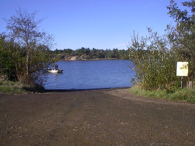
Guardrail hole: Unimproved gravel, About 2 miles down river to the Ocean.
Ok place to ride, not fresh water, watch for crab pot floats and
fisherman in the fall. In case you get any flack, the marine deputy
said it's ok to ride, but 'please' don't make him come out.
Latitude/Longitude location: 45.193167,-123.9552
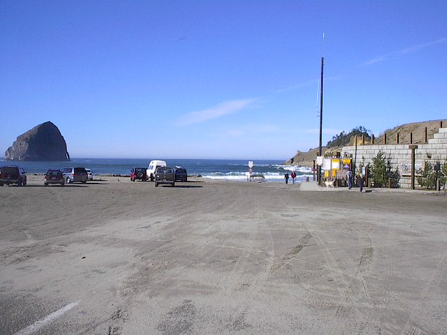
Cape Kiwanda: Even though it's a public beach launch,
the surfers will fight you for every inch of space. 4wd required.
Latitude/Longitude location: 45.215724,-123.971443
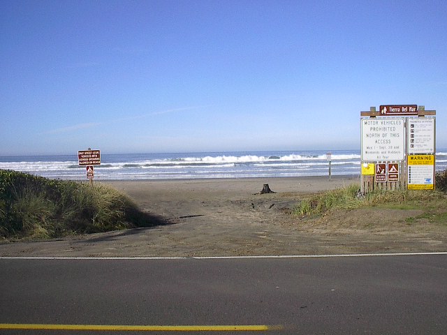
McPhillips Beach (Tierra Del Mar): Unimproved gravel. 4wd needed
in late summer only. No one will bother you here. I use the guardrail
hole to flush out the sand.
Latitude/Longitude location: 45.246053,-123.967752