Northwest Surfriders
Yale lake, Washington
Click on the map link then click on the placemarks on the left side.
The placemark menus can provide directions to get there
Click on Satellite to get a bird's eye view of the area.
Yale Park is the only launch open all year.
The rest are Memorial day to Labor Day + one weekend
It's good to check the lake levels before going.
Call 1-800-547-1501 and choose the Lewis river option.
If a lot of rain is expected and for various other reasons
they lower the water levels. If it's more than 9 feet down the
boat launches can be challenging.
Saddle Dam latitude/longitude location: 45.968039,-122.338268
Yale Park latitude/longitude location: 46.02632,-122.318001
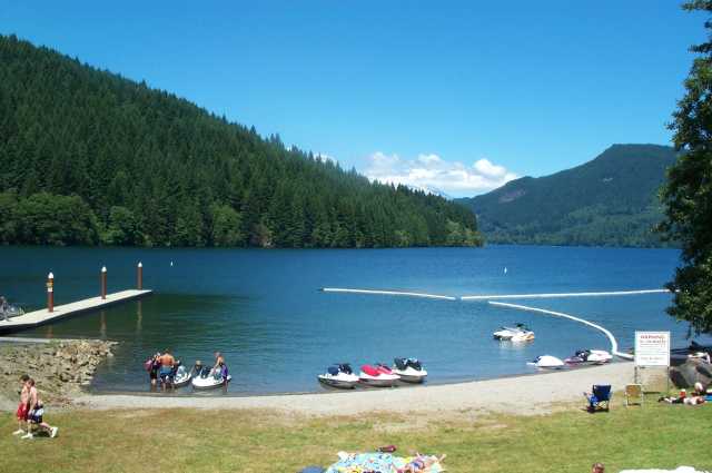
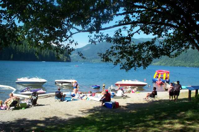
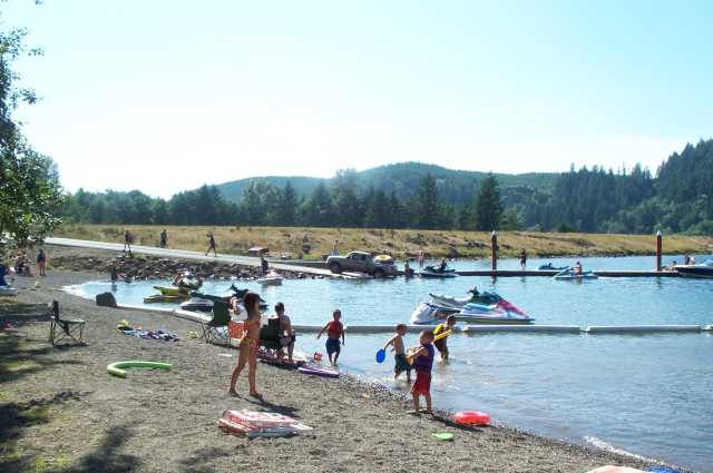
These pictures were taken at Saddle dam. Yale lake is a beautiful and scenic
place for summer riding. You can see 30 feet down through the pristine water.
A great place to make a day of riding and BBQing. In this picture Mt. St. Helens
can be seen hiding under the clouds. It makes for an interesting ride when a
volcano is puffing steam clouds 13 miles away.
Latitude/Longitude location: 45.968039,-122.338268